High-Altitude Perspectives for Land and Development
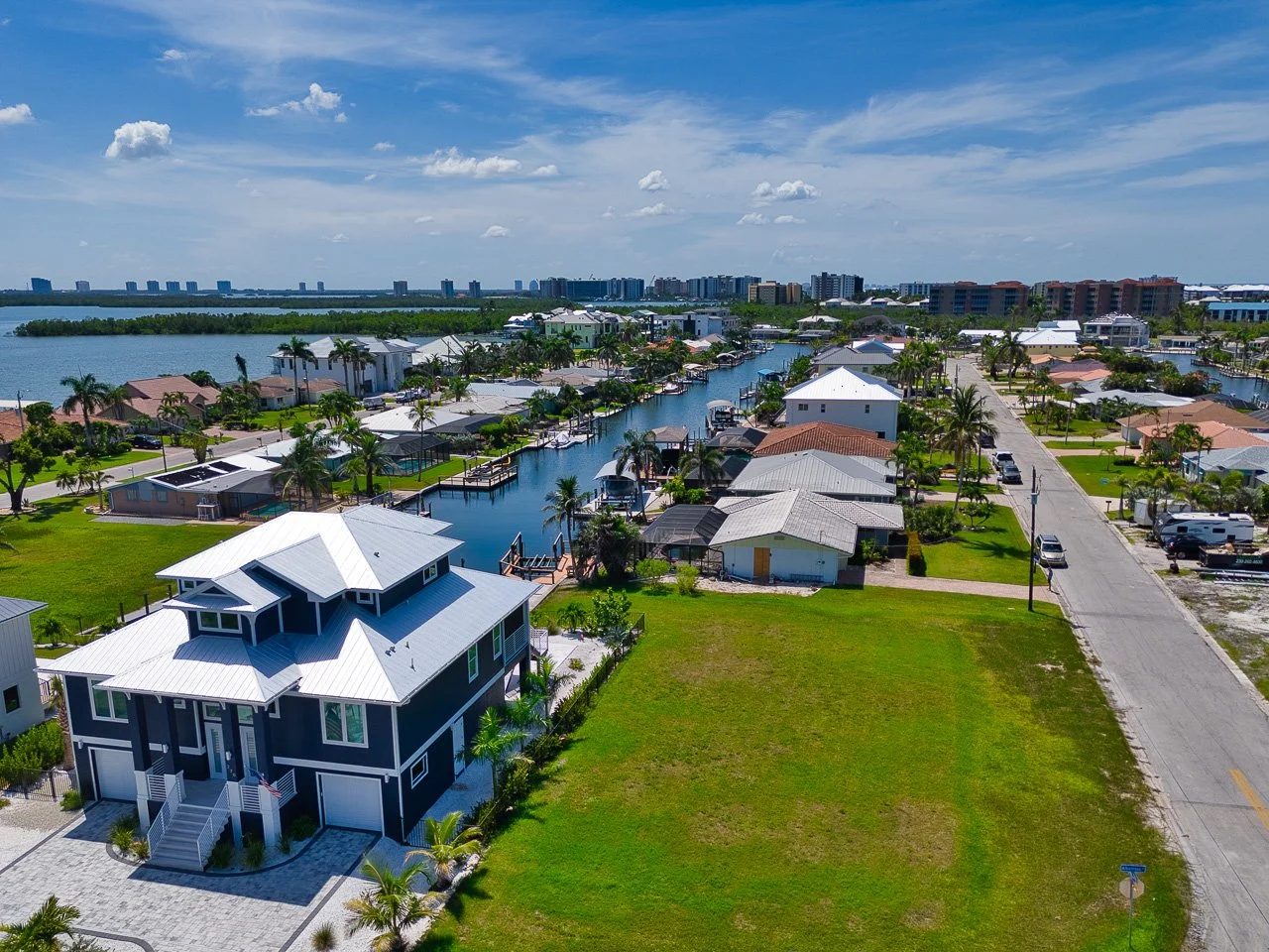
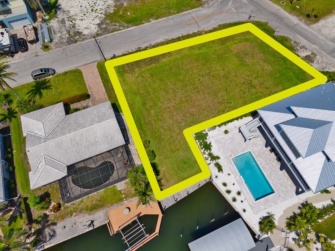
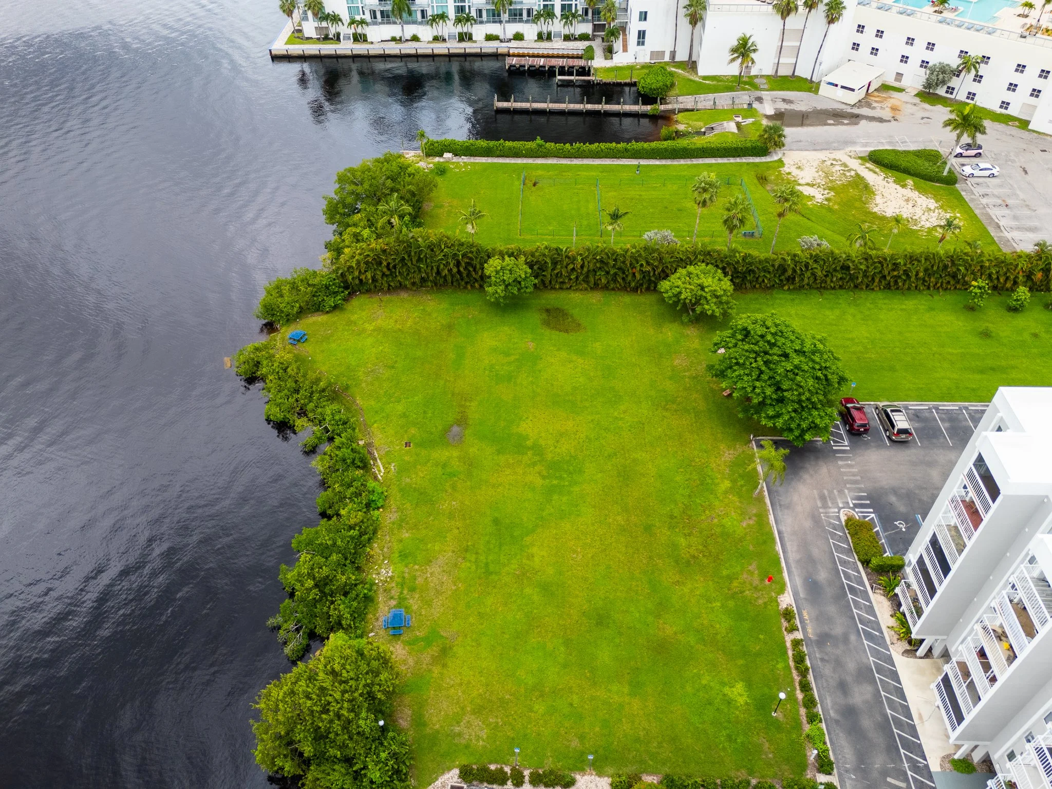
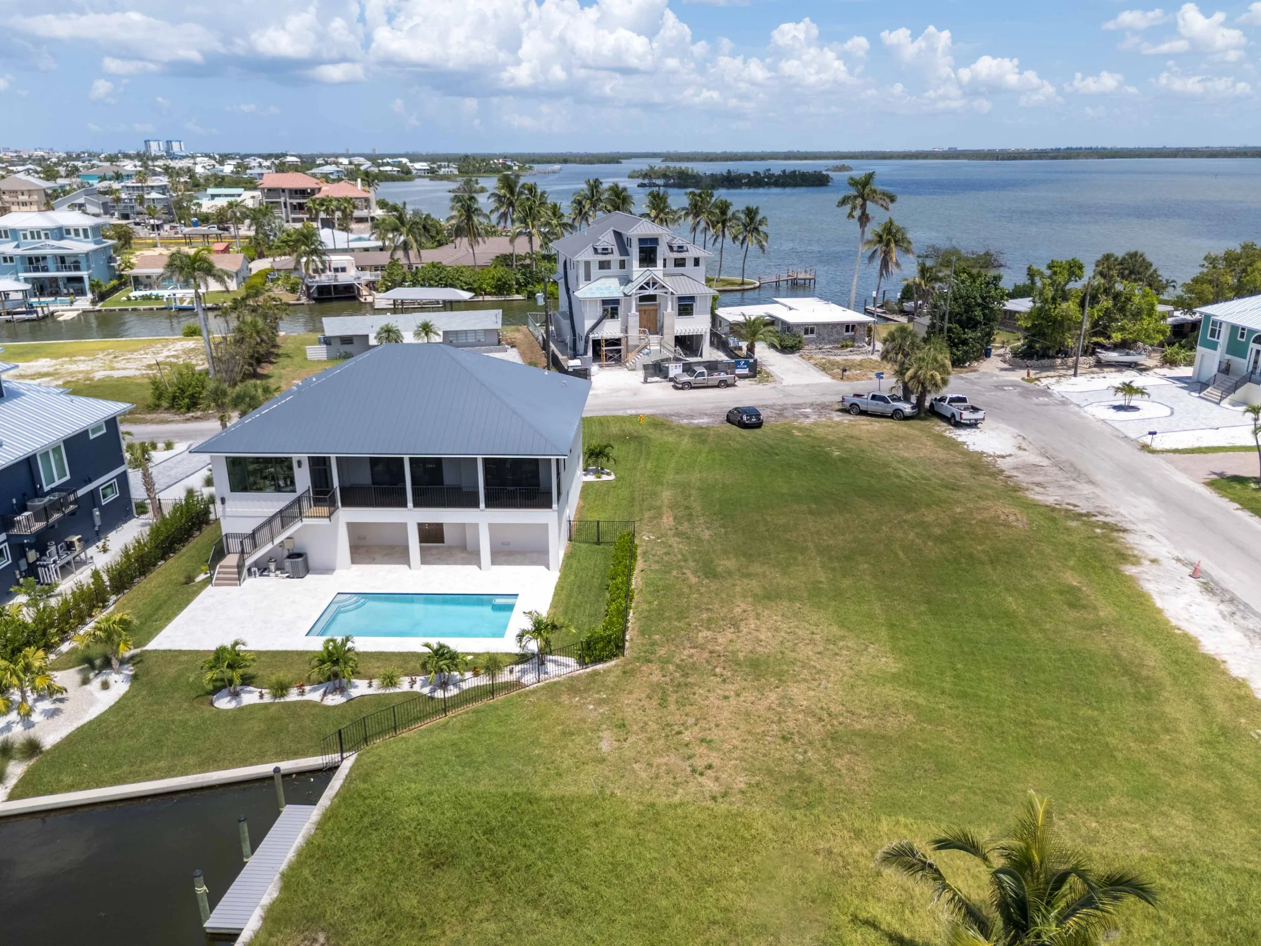
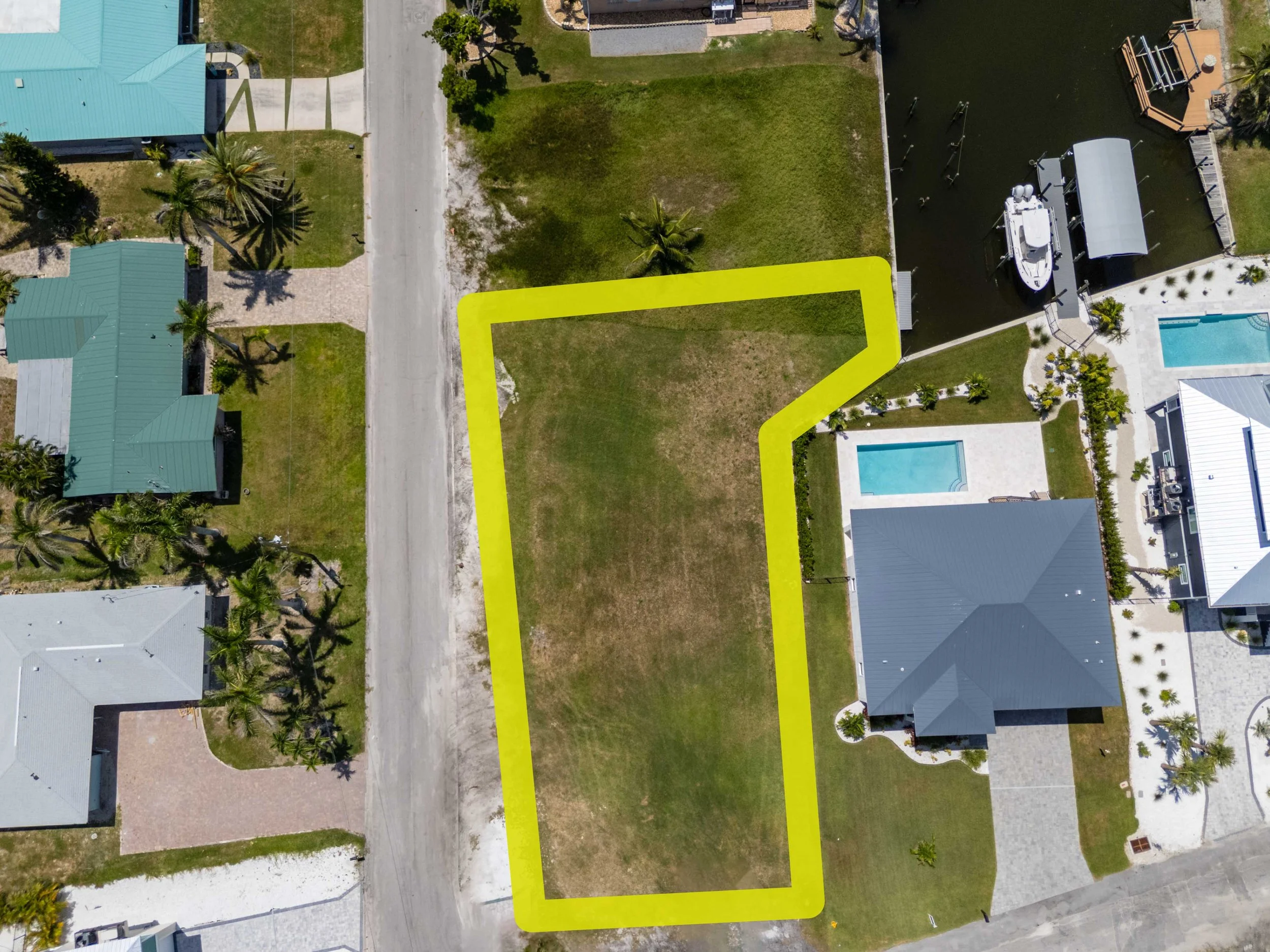
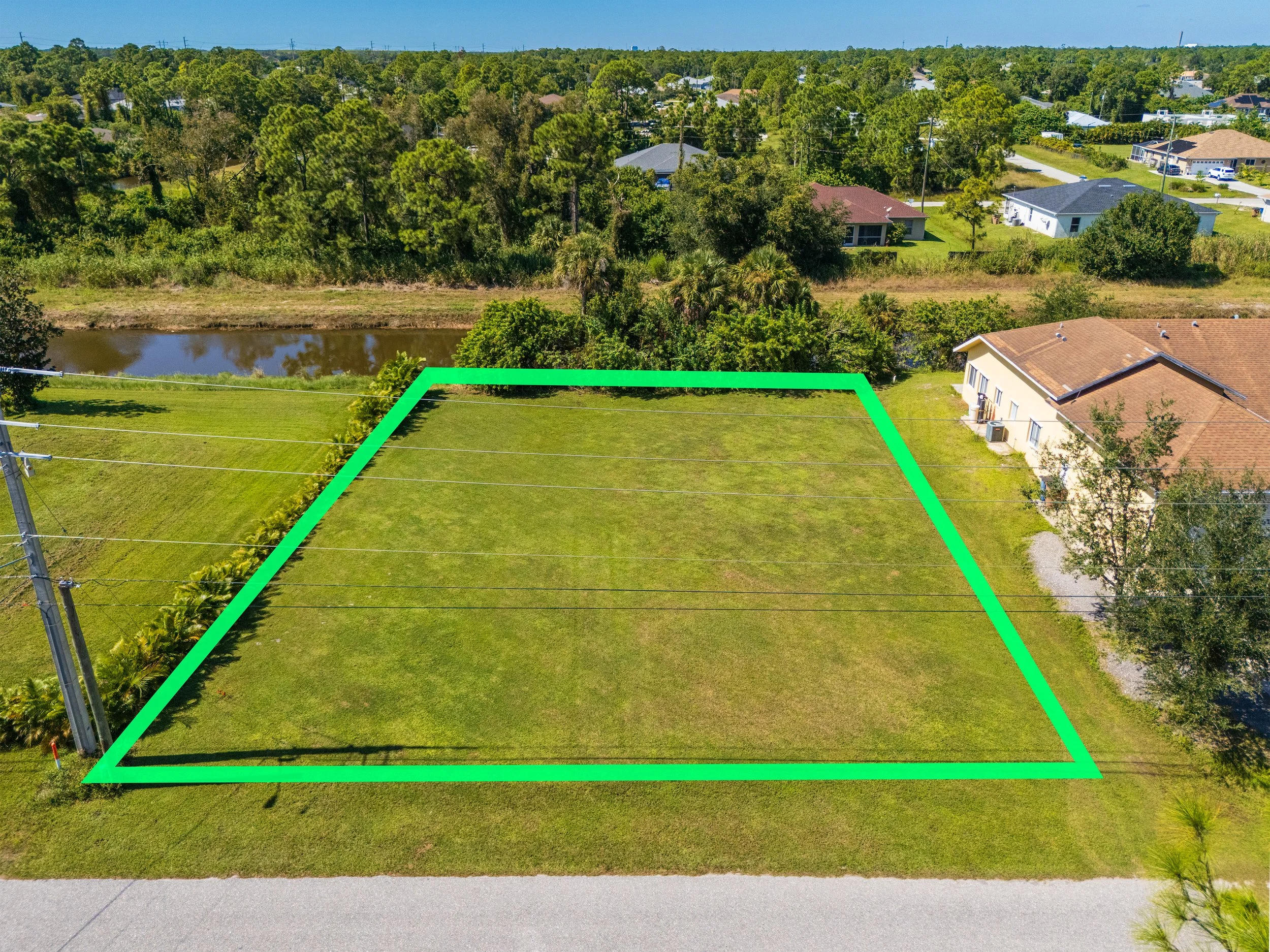
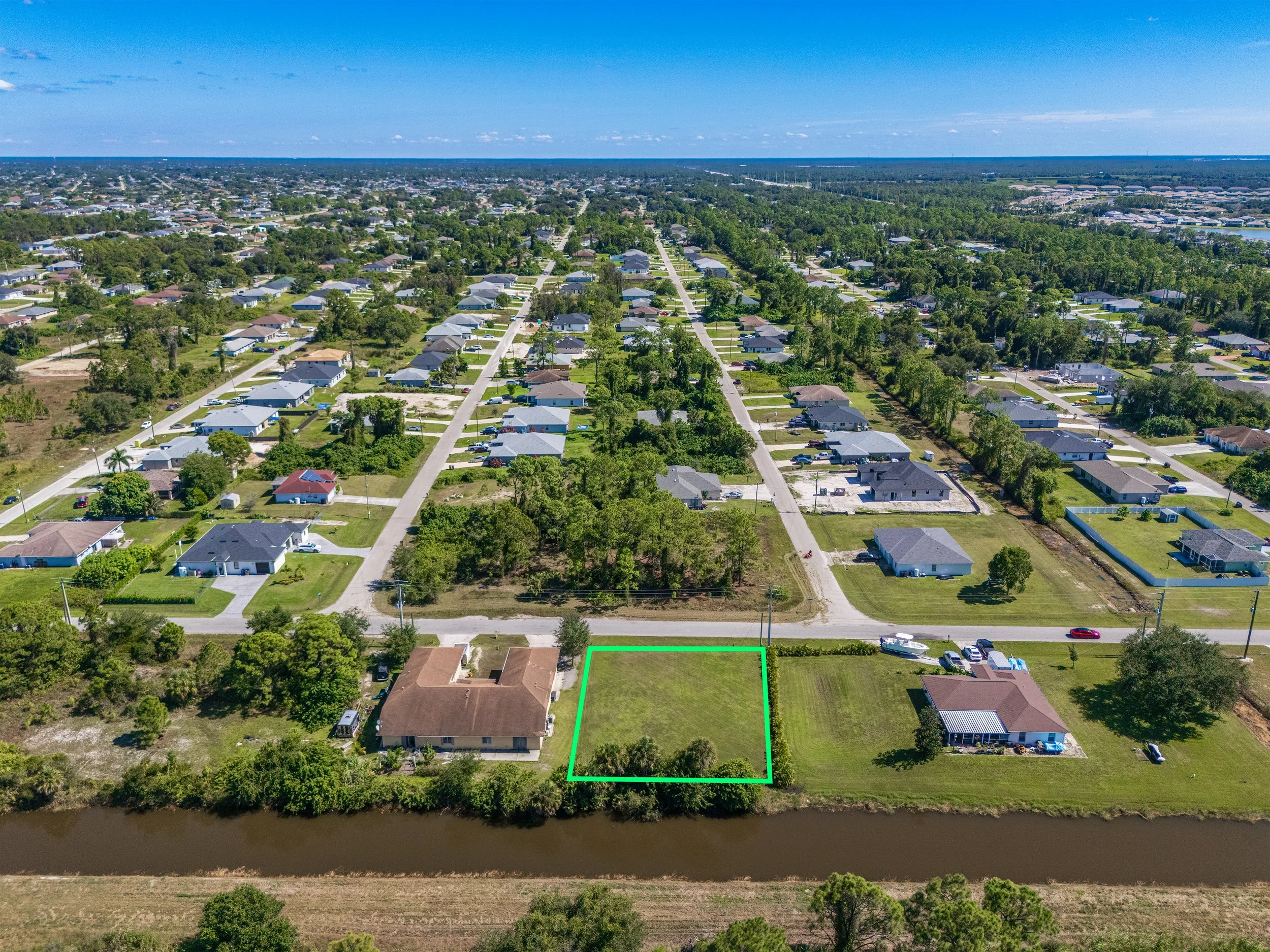
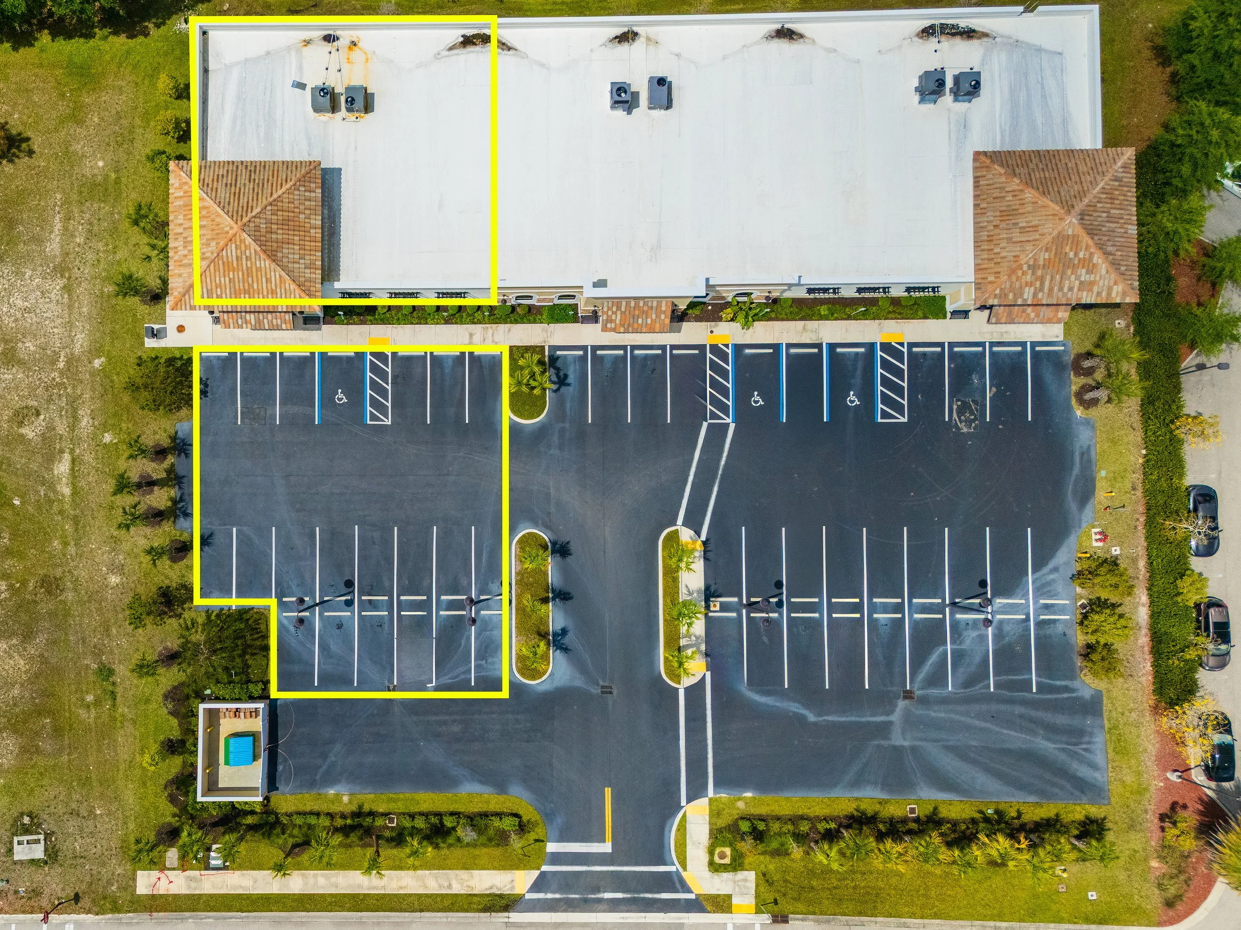
For vacant land, large acreage, and tear-downs, the true value lies in the footprint and the location. Our Aerial Packages deliver a comprehensive overhead perspective that grounds buyers in the space. We capture the property from multiple angles, highlight proximity to key community amenities—like water access, beaches, or major intersections—and provide digital lot-line approximations so developers and buyers can instantly visualize the property boundaries. [AERIAL PACKAGE DETAILS AND DELIVERABLES]
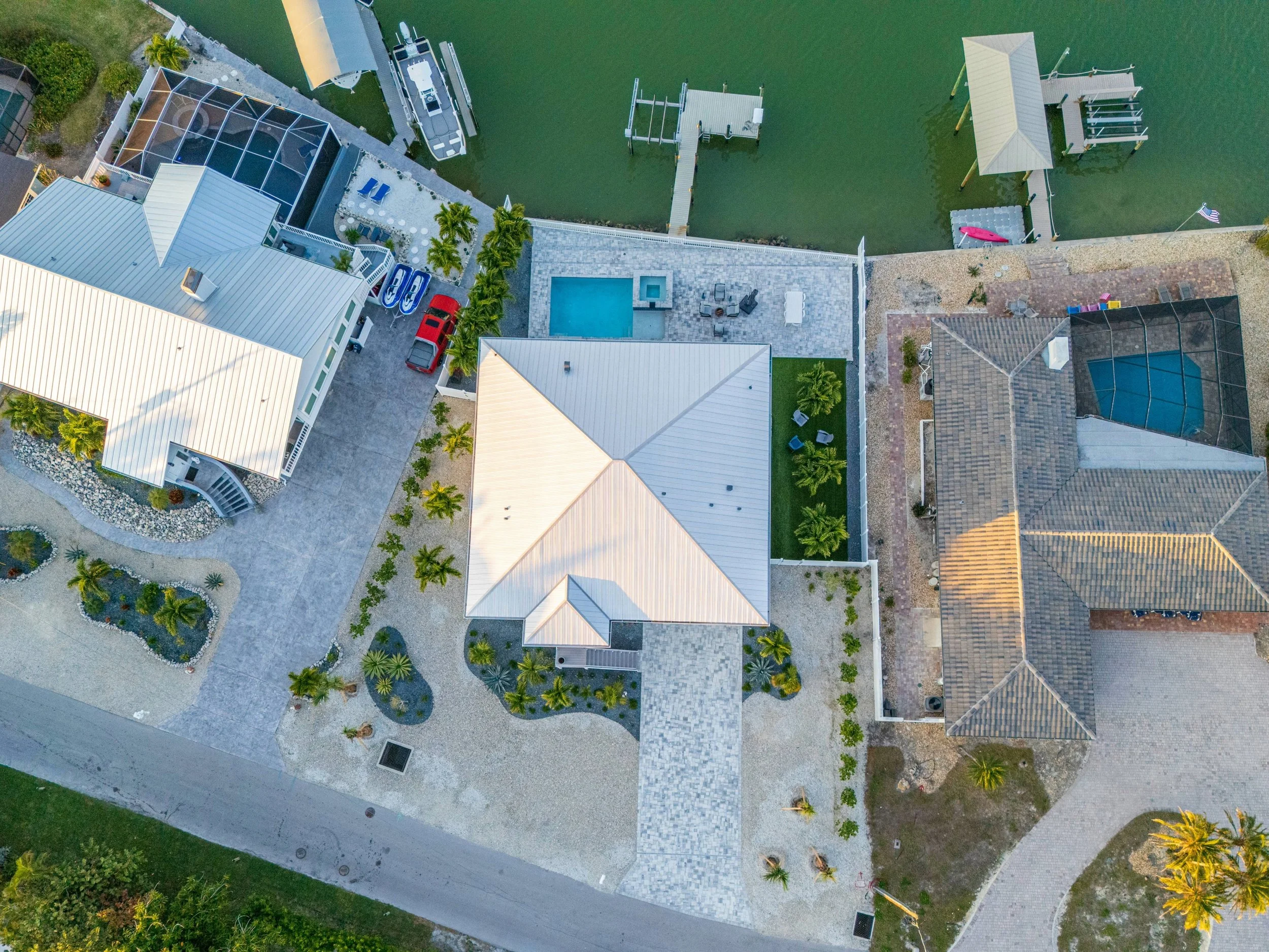
Aerial Package Info:
8-10 High-Resolution Aerial Drone Photos
Lot-line approximations included on 1-2 key photos
Surrounding highlights and points of interest captured
MLS-Optimized File Sequencing
Online scheduling, delivery, and payment via Client Portal